Alan Lane, Executive Director, Open Government
General
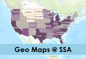
Social Security Launches GeoMaps
Reading Time: 1 Minute
Social Security provides financial benefits, tools, and information to help support you throughout life’s journey. We’re excited to announce the launch of geospatial mapping at Social Security! Our new initiative, GeoMaps, complements our Open Government and Open Data Initiatives. For several years, we have published a significant amount of data on Data.gov, but we know […]
Continue reading "Social Security Launches GeoMaps" →Tags: Disability